
Amsterdam 100+ Years Ago: See the City Before Modern Times
What did Amsterdam look like 100, 120 or even 160 years ago? 📸 Before millions of tourists filled the streets, before bicycles became one of the city's strongest symbols, and before modern cars and digital signs changed everyday life, Amsterdam was already a busy and fascinating city.
The amazing thing is that we don't have to imagine it. Real historical photographs by photographers such as Jacob Olie, George Hendrik Breitner and Andries Jager captured Amsterdam's canals, streets, bridges, markets and buildings. Many of these locations still exist today, giving us the chance to compare Amsterdam then and Amsterdam now ❤️.
1. 🏛️ Dam Square — Amsterdam Before the Tourist Crowds
📍 Where: Dam Square, central Amsterdam
🕒 Old Photo: Around 1890–1900
ℹ️ Info: Historical photographs show the square, historic buildings and older forms of transport
Dam Square was already one of Amsterdam's most important public spaces more than a century ago. Historical photographs by George Hendrik Breitner show the square with people in period clothing, historic buildings and older forms of transport such as horse trams.
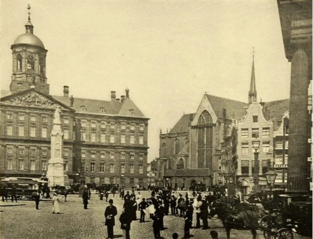
Today, Dam Square is one of the busiest tourist areas in Amsterdam. But when you look at the old photographs, the biggest difference is the people, transport and atmosphere. The same square has remained at the heart of Amsterdam while everyday life around it has completely changed.
• Horse-drawn transport was part of the old street scene 🐎
• The Nieuwe Kerk and historic surroundings remain recognizable ⛪
2. 🌊 Oudezijds Voorburgwal — The Canal That Still Looks Familiar
📍 Where: Oudezijds Voorburgwal
🕒 Old Photo: Around 1900
ℹ️ Info: Historical photograph showing the canal and Basilica of Saint Nicholas
This is one of those places where the past and present feel surprisingly close. Historical photographs show Oudezijds Voorburgwal around 1900, with the canal, historic buildings and the Basilica of Saint Nicholas visible in the background.
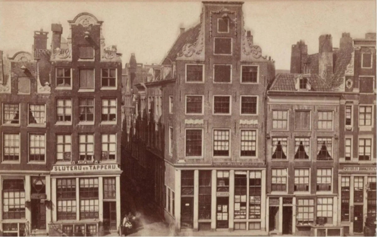
More than 100 years ago, these canals were part of everyday Amsterdam rather than one of the city's busiest tourist areas. Today, visitors fill the streets and bridges, but the historic canal structure continues to connect modern Amsterdam with its past.
• The canal and historic surroundings remain recognizable 🌊
• Basilica of Saint Nicholas still provides a familiar landmark ⛪
3. 🌉 Oudezijds Kolk — A View From More Than 120 Years Ago
📍 Where: Oudezijds Voorburgwal / Oudezijds Kolk
🕒 Old Photo: 1884–around 1900
ℹ️ Info: Historical photograph attributed to Andries Jager
If you want to go even further back, Oudezijds Kolk gives us a view from the late 19th century. Historical photography from this period shows Oudezijds Voorburgwal looking toward Oudezijds Kolk and the Basilica of Saint Nicholas.
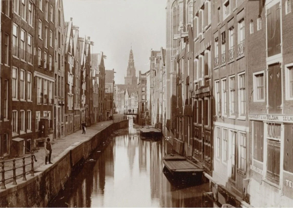
That means the scene is more than 120 years old. The buildings, canal and church give the image a familiar Amsterdam feeling, but the absence of modern traffic, signs and crowds makes it feel like another world.
• Photograph dates back to the late 19th century 📸
• The canal and major landmarks can still be found today 🌊
4. 🌉 Brouwersgracht & Herengracht — Amsterdam in 1862
📍 Where: Brouwersgracht and Herengracht
🕒 Old Photo: January–March 1862
ℹ️ Info: Panorama photographed by Jacob Olie
Now we go more than 160 years into Amsterdam's past. Jacob Olie photographed Brouwersgracht and Herengracht in 1862, creating a panorama from three overlapping photographs. The Amsterdam City Archives dates these images to January–March 1862.
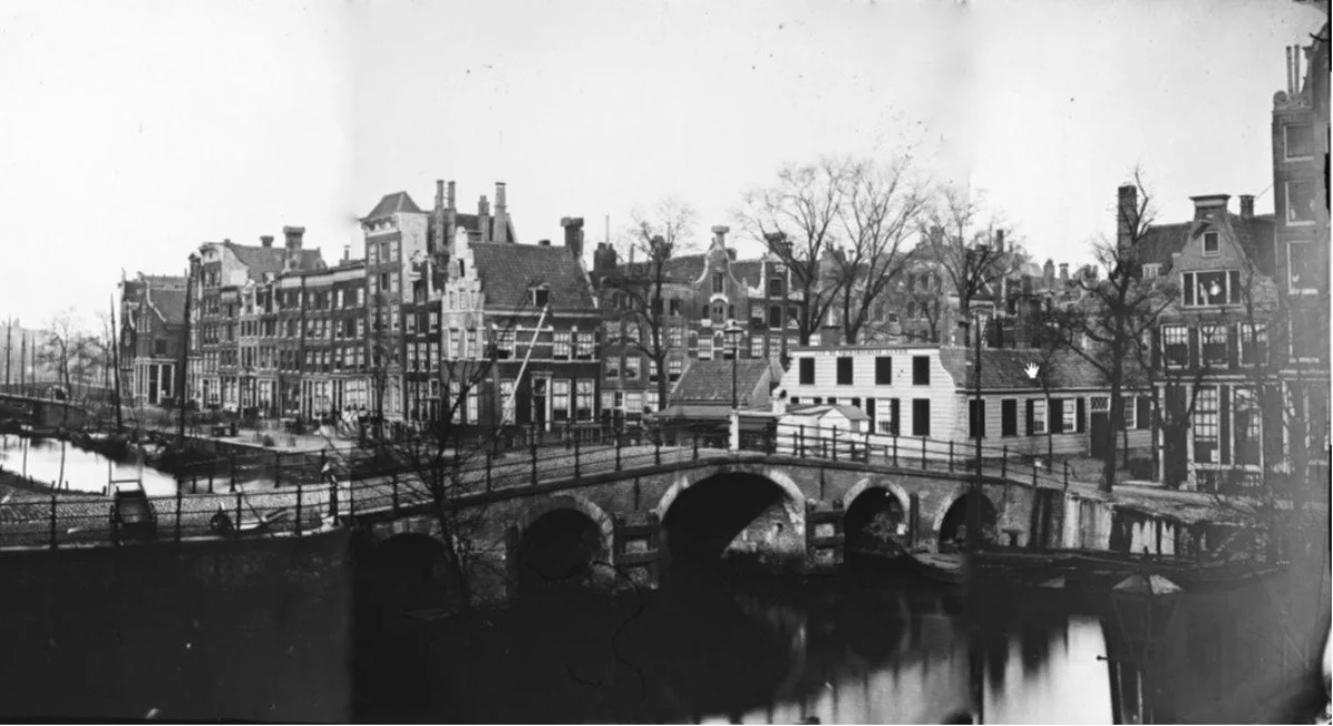
The historic canal environment is still recognizable today. The old photograph gives us a rare look at Amsterdam before modern transportation, tourism and much of today's infrastructure. Standing beside the same waterways today gives you a direct connection to a city photographed more than a century and a half ago.
• One of the oldest photographic views in this guide 📸
• Historic canal architecture remains visible today 🏠
5. 🏘️ Haarlemmerstraat — A Busy Amsterdam Street in 1906
📍 Where: Haarlemmerstraat
🕒 Old Photo: 1906–1907
ℹ️ Info: George Hendrik Breitner photographed the street and its everyday life
Haarlemmerstraat shows a different side of historical Amsterdam. Instead of photographing a famous monument, George Hendrik Breitner captured an ordinary city street around 1906–1907. The photographs show buildings, shopfronts and people going about their daily lives.
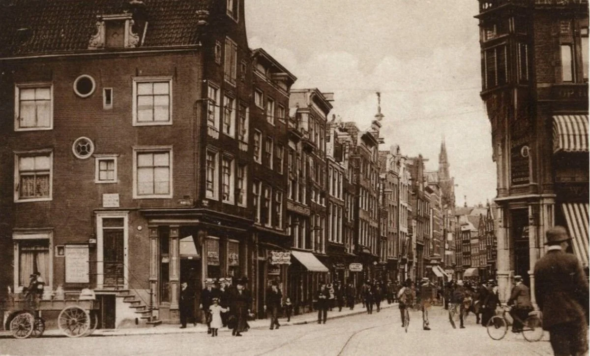
This makes the images especially interesting today. You aren't simply looking at a beautiful historic view — you're seeing normal Amsterdam life more than a century ago. Walk along Haarlemmerstraat today and compare the street with the old photographs.
• Historical photographs show everyday street life 🚶
• The street remains part of Amsterdam today 🏘️
6. 🚉 Amsterdam Centraal & Prins Hendrikkade — The Gateway to Old Amsterdam
📍 Where: Amsterdam Centraal and Prins Hendrikkade
🕒 Old Photo: 19th–early 20th century
ℹ️ Info: Historical views of the station, waterfront and Basilica of Saint Nicholas
Amsterdam Centraal has been one of the city's major gateways for generations. Historical photographs show Prins Hendrikkade, the Basilica of Saint Nicholas and the area around Amsterdam Centraal from an earlier period.
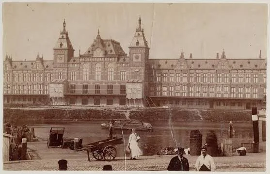
Today, the area is packed with trains, trams, bicycles, ferries, taxis and tourists. Looking at the old photographs reveals a very different form of street transport and a quieter-looking waterfront. Yet the station, basilica and basic geography still connect the two versions of Amsterdam.
• The Basilica of Saint Nicholas remains recognizable ⛪
• The waterfront and station area can still be compared today 🚉
7. ⚓ De Ruijterkade & the IJ — Amsterdam's Working Waterfront
📍 Where: De Ruijterkade and IJ waterfront
🕒 Old Photo: Around 1880–1908
ℹ️ Info: Historical photographs show the quay, water and ships
The waterfront around Amsterdam Centraal looks very different today, but historical photographs reveal its older working-port character. Photographs from the late 19th and early 20th centuries show De Ruijterkade, the IJ, ships and the busy waterfront.
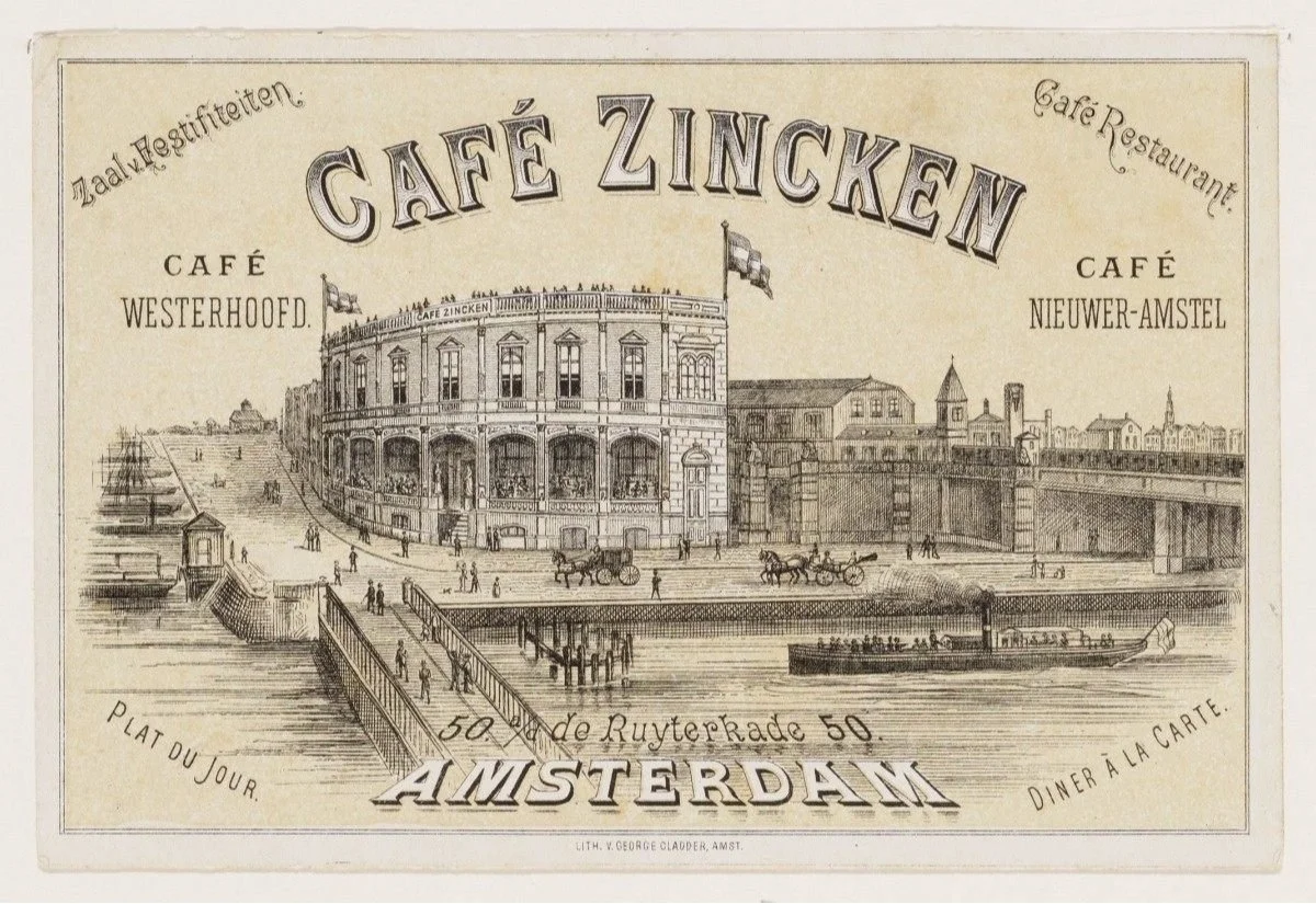
The IJ was not simply a scenic piece of water. It was an important part of Amsterdam's transport and commercial life, with ships, quays and goods connecting the city to the wider world. Compare those old views with the waterfront today and the transformation becomes obvious.
• Historical photographs show ships and working quays ⚓
• The IJ remains a major part of Amsterdam's landscape 🌊
8. 🏪 Nieuwmarkt & De Waag — The Market Square of Old Amsterdam
📍 Where: Nieuwmarkt
🕒 Old Photo: 19th–early 20th century
ℹ️ Info: Historical photographs show De Waag and market activity
Nieuwmarkt is another place where architecture and everyday life appear together in historical photographs. Old photographs show De Waag, the square and market activity, including scenes from the early 20th century.
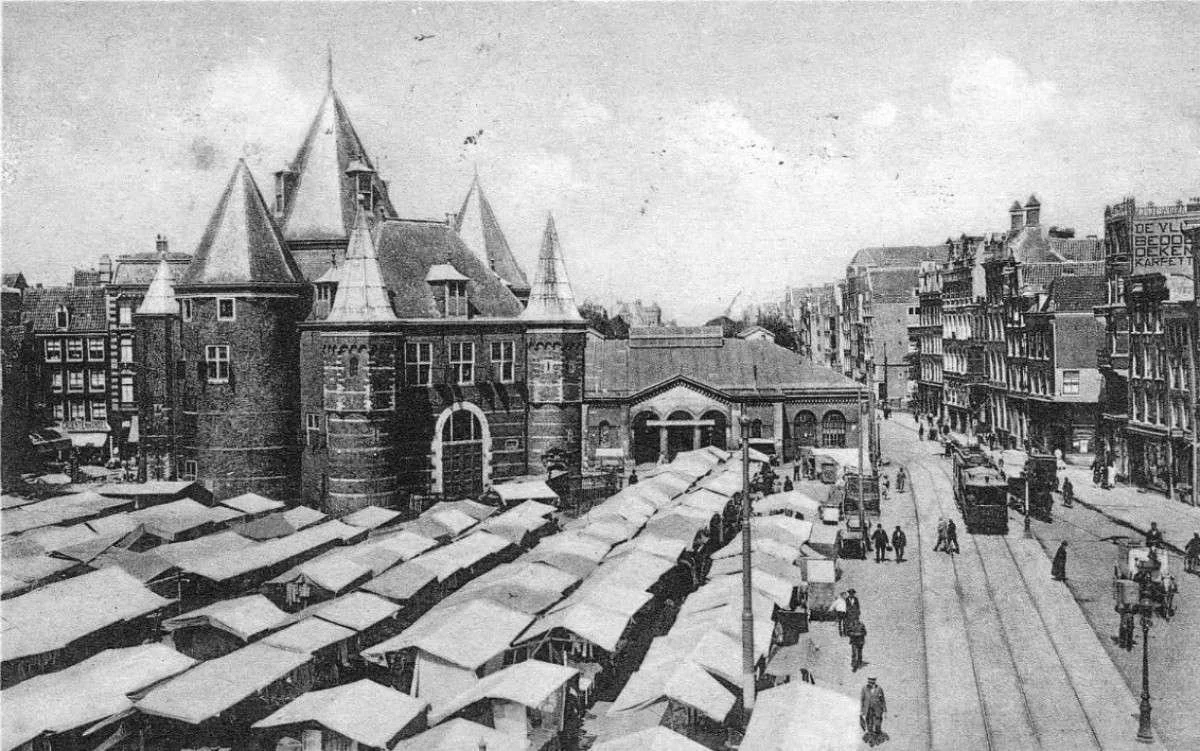
De Waag itself makes the comparison easy because it remains one of the most recognizable buildings in the square. But look beyond the building and you'll see how different public life was. The old photographs show a market environment much more connected to local daily shopping and trade.
• De Waag remains the key landmark 🏛️
• Historical photographs show market life in the square 🛍️
9. 🌳 Groenburgwal & Zuiderkerk — A View That Barely Feels 100 Years Old
📍 Where: Groenburgwal and Zuiderkerk
🕒 Old Photos: Around 1870–1904
ℹ️ Info: Several historical photographs show the canal and church
Groenburgwal is one of the strongest locations for this entire idea because multiple historical photographs survive. Photographs from different periods show Groenburgwal with the Zuiderkerk, including images from the late 19th century and the early 1900s.
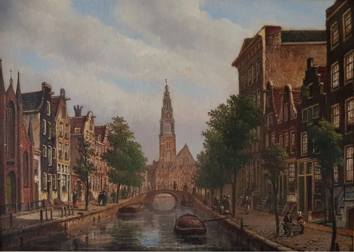
When you see the old photographs, the basic view feels surprisingly familiar. The canal, church tower and surrounding buildings still create a similar composition today. The people and street life have changed, but the historic landscape remains recognizable.
• Multiple photographs exist from different historical periods 📸
• Zuiderkerk and Groenburgwal remain recognizable today 🌊
10. 🌊 Keizersgracht — The Canal Before Modern Amsterdam
📍 Where: Keizersgracht
🕒 Old Photo: 19th–early 20th century
ℹ️ Info: Historical Amsterdam city-view photographs
Keizersgracht is one of Amsterdam's best-known canals, and historical photographs give us a glimpse of how it looked before the modern city developed around it. Historical city-view collections preserve photographs of Keizersgracht alongside other important Amsterdam locations.
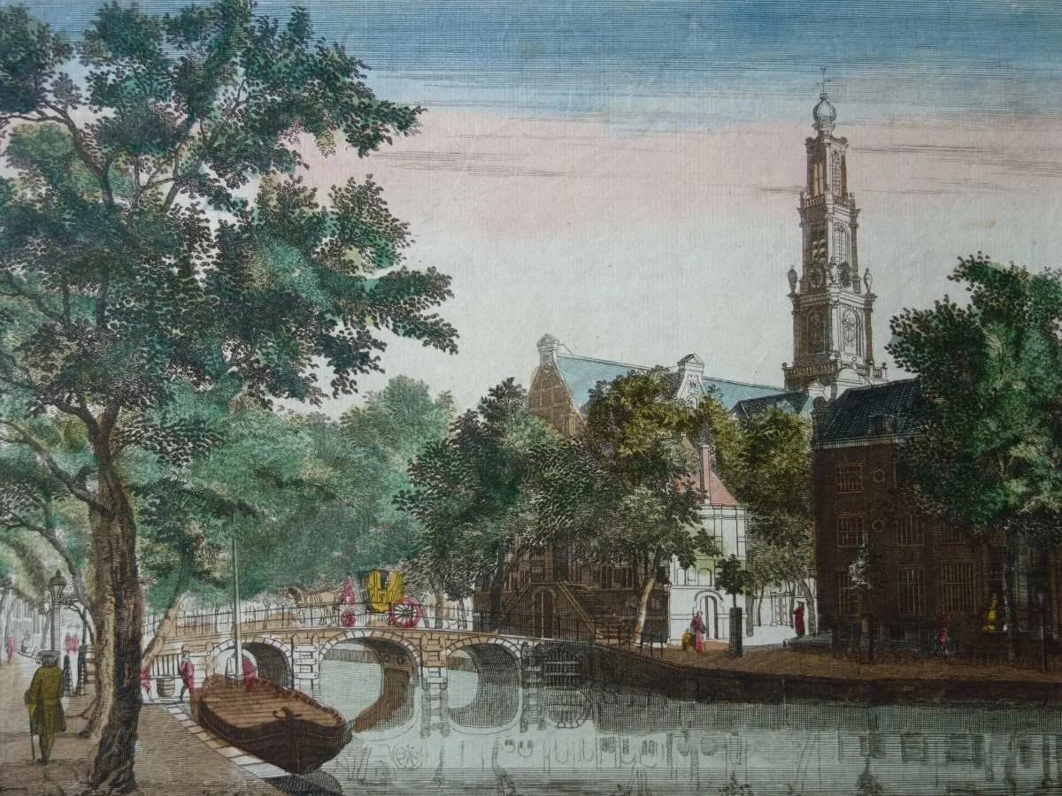
The basic ingredients are still there today: water, bridges and tall canal houses. What has changed is the rhythm of life around them. Modern bicycles, tourism and businesses have transformed the street level, while the canal itself continues to follow the historic pattern that made Amsterdam famous.
• Historical Keizersgracht photographs are preserved 📸
• The canal houses and waterway remain recognizable 🏠
11. 🌉 Nieuwe Amstelbrug & the Amstel — Amsterdam Around 1905
📍 Where: Nieuwe Amstelbrug and Amstel River
🕒 Old Photo: Around 1903–1907
ℹ️ Info: Several historical photographs show the bridge and river
The Nieuwe Amstelbrug gives us another location where several historical photographs can be compared with the city today. Images from around 1903–1907 show the bridge and Amstel from different viewpoints, giving us a detailed look at the area more than a century ago.
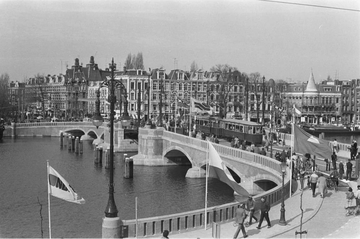
The Amstel itself remains the easiest point of comparison. The river, bridge and surrounding geography are still there, while the transport, buildings and street activity have changed over the decades.
• Multiple historical photographs show the bridge 🌉
• The Amstel remains the central feature of the view 🌊
12. 🏛️ Herengracht — The Canal That Has Outlived Generations
📍 Where: Herengracht
🕒 Old Photo: Around 1860–1900
ℹ️ Info: Historical photographs from the 19th and early 20th centuries
Herengracht brings us back to one of Amsterdam's most recognizable historic canals. Historical photographs from the 19th century into the early 20th century show the canal, its bridges and its famous canal houses.
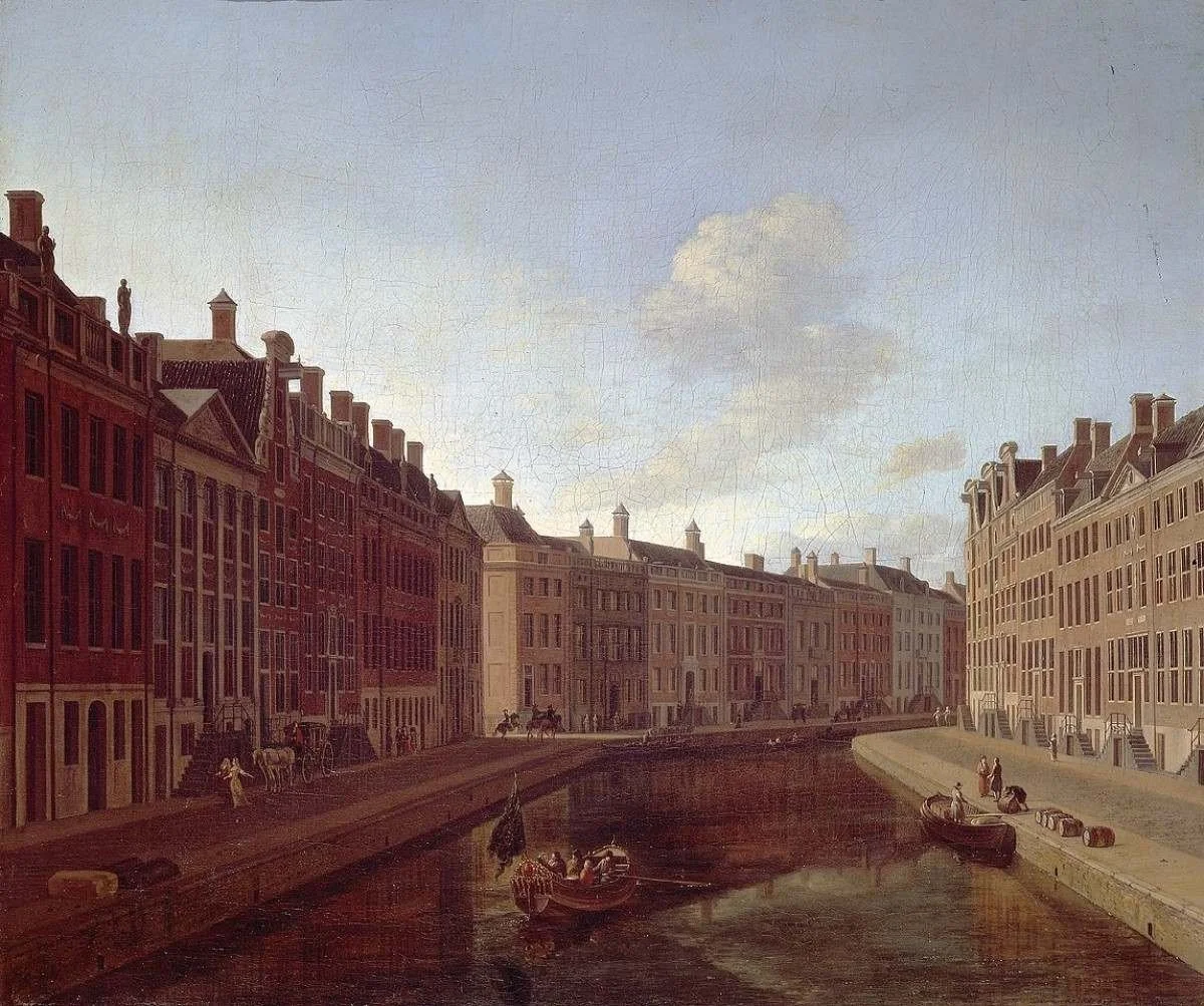
Walking here today, you can still see the same basic relationship between water, bridges and historic canal houses. The city around them has changed enormously, but Herengracht shows why Amsterdam's old photographs are so fascinating: in some views, more than a century can pass without completely erasing the original character of the place
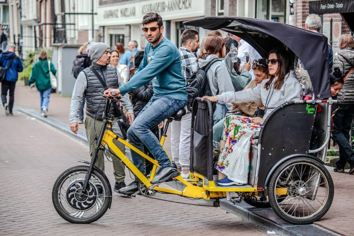
Explore Amsterdam by Electric Pedicab
Private rickshaw tours · From €12 · Local guides · Mon–Sun 8AM–6PM
Before heading out on your day trip, explore Amsterdam the fun way — by private electric pedicab. Cruise through canals, Jordaan, and hidden streets with a friendly local guide. No crowded trams, no tired legs — just a relaxed Amsterdam experience.